Google to map trails, historical sites in national parks
Some of Canada’s most beloved natural trails and historic sites are going online under a new deal between Parks Canada and Google Maps.
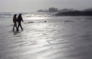
Starting this summer, the global Internet giant plans to take its special cameras to natural and historic wonders from Louisbourg fortress in Nova Scotia to British Columbia’s Pacific Rim National Park.
When the images are posted, viewers will be able to walk through a forest or peer into a room with 360-degree vision.
Parks Canada is hoping that allowing people to hike a trail on their computer screens will encourage them to do it in real life.
Filming is to begin in Louisbourg, a gigantic fort on Cape Breton Island that marks its 300th anniversary this year.
Join the Conversation!
Want to share your thoughts, add context, or connect with others in your community? Create a free account to comment on stories, ask questions, and join meaningful discussions on our new site.


Leave a Reply
You must be logged in to post a comment.