Elevate your local knowledge
Sign up for the iNFOnews newsletter today!
Elevate your local knowledge
Sign up for the iNFOnews newsletter today!
Select Region
Selecting your primary region ensures you get the stories that matter to you first.

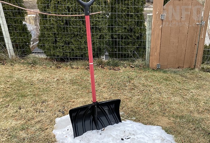
We’re on track to have one of the warmest, driest winters on record in the Okanagan, to the point where it’s colder in Morocco.
Azrou, Morocco is 1 Celsius today, Feb. 13, and it’s 5 C in Kelowna and 2 C in Kamloops. Warm temperatures are expected to continue with a chance of rain and flurries heading into the weekend with daily high temperatures around 5 C to 7 C for the region.
December was one of the top five warmest on record for Kelowna and Kamloops and January was the driest on record for Kelowna and Penticton. Vernon was around three degrees above normal temperature and had less than half of its normal precipitation in January.
The Okanagan also lost a lot of snowpack in January, from 90 per cent of normal on Jan. 1 to 67 per cent of normal on Feb. 1.
Environment Canada meteorologist Ken Dosanjh said the region is on track to have one of the mildest winters on record.
“There’s some merit to that statement,” he said. “We haven’t really seen a whole lot of cool spells occur, we saw a little bit of cool anomalies occur around the December timeframe but truth be told it wasn’t that persistent and it wasn’t that intense.”
Eastern Canada and parts of the U.S. were bombarded with snow and cold as the polar vortex pushed south and brought heavy winter conditions.
Toronto had the snowiest January on record with 88.2 centimetres of snow, Kelowna had about 7 millimetres of precipitation.
It’s supposed to get a bit colder next week with overnight lows around -4 C for the Okanagan and Kamloops with a chance of flurries on Tuesday night into Wednesday for the region.
Dosanjh said the snowfall and seasonal temperatures would be welcomed, but it doesn’t look like it’s going to get too much colder as Arctic air warms up as it makes its way south.
“Areas like Prince George around the order of around 10 to 15 degrees below normal so then as you start to move further south that that signal gets a little bit weaker,” he said. “We’re not expecting that cool really Arctic air mass that brings that frigid conditions.”
News from © iNFOnews.ca, . All rights reserved.
This material may not be published, broadcast, rewritten or redistributed.

This site is protected by reCAPTCHA and the Google Privacy Policy and Terms of Service apply.
Want to share your thoughts, add context, or connect with others in your community?
You must be logged in to post a comment.