Elevate your local knowledge
Sign up for the iNFOnews newsletter today!
Sign up for the iNFOnews newsletter today!
Selecting your primary region ensures you get the stories that matter to you first.

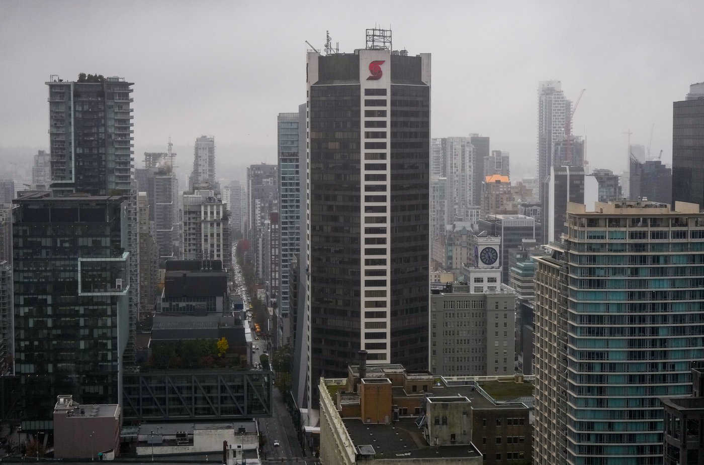
VANCOUVER — Snowflakes drifted into parts of Vancouver on Wednesday, but an Environment Canada meteorologist says it was not enough to register as the city’s first snowfall of the winter season.
Tanmay Rane says a snowfall is not considered measurable unless the weather station at Vancouver International Airport records at least one centimetre, which did not happen.
He says the light flurries were very localized, describing the conditions as an “isolated band” of snow that was “hugging the water” as it moved across western sections of Vancouver, including the Kitsilano neighbourhood and parts of downtown Vancouver.
Vancouver has been waiting for its first official snowfall, and if nothing arrives, it would be the first time the city had gone snow-free since the winter of 1982-83.
Rane says it is still too soon to say for certain whether that will be the case, as there is still a lot of winter left, but he noted he “would expect it much earlier in the season.”
It’s much colder farther north, where an Arctic outflow warning remains in effect, bringing wind chills of around -20 along the northern coast, including the communities of Kitimat, Stewart, and Terrace.
Environment Canada also says an arctic high-pressure ridge over B.C.’s Interior will continue to bring cold temperatures in combination with strong winds.
The weather office says conditions in both regions will persist until Thursday, then improve throughout the day as temperatures rise.
This report by The Canadian Press was first published Feb. 18, 2026.
This site is protected by reCAPTCHA and the Google Privacy Policy and Terms of Service apply.
Want to share your thoughts, add context, or connect with others in your community?
You must be logged in to post a comment.