
B.C. wildfire fight reaches Metro Vancouver as Anmore blaze prompts evacuation alerts

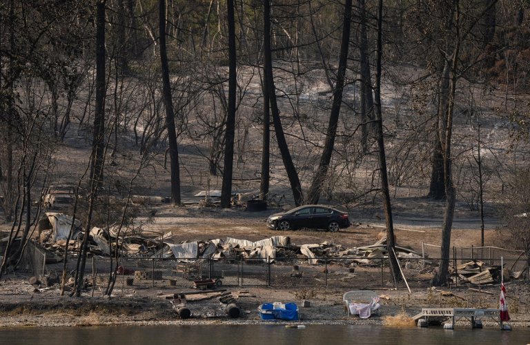
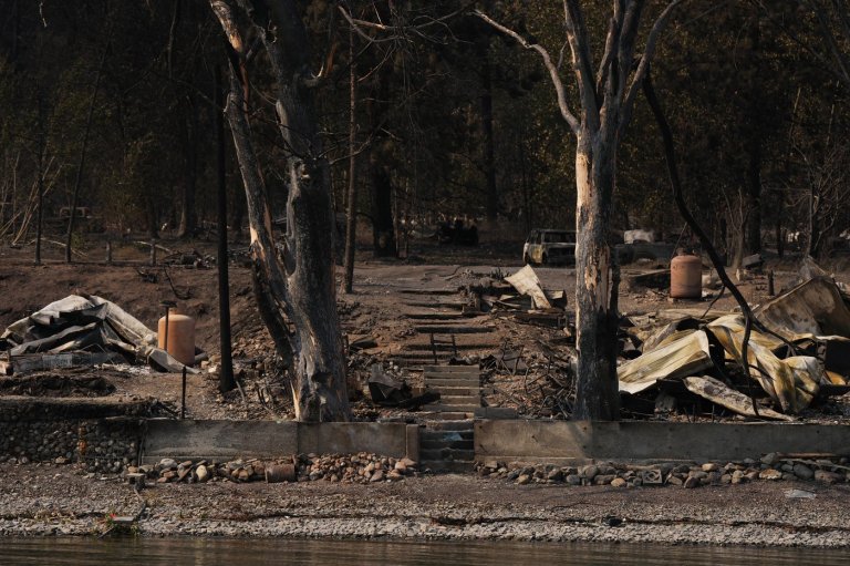
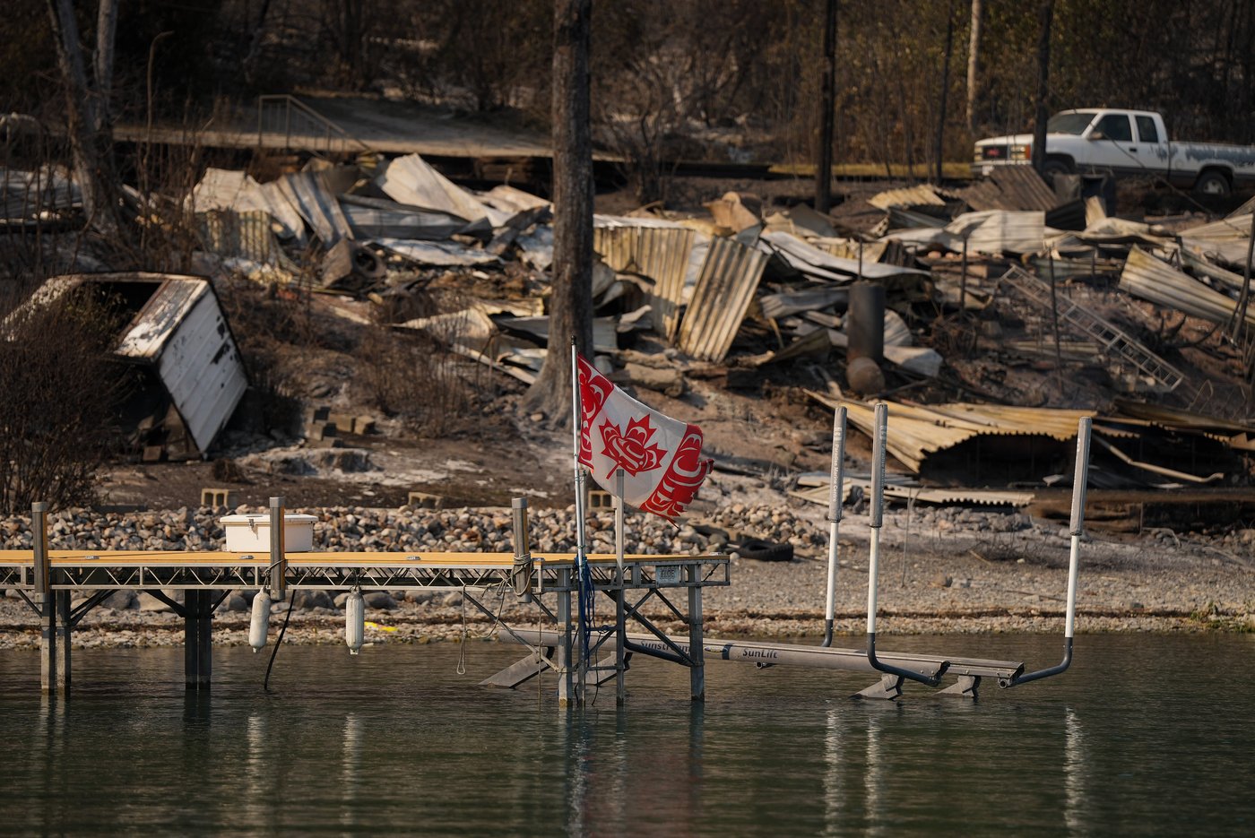
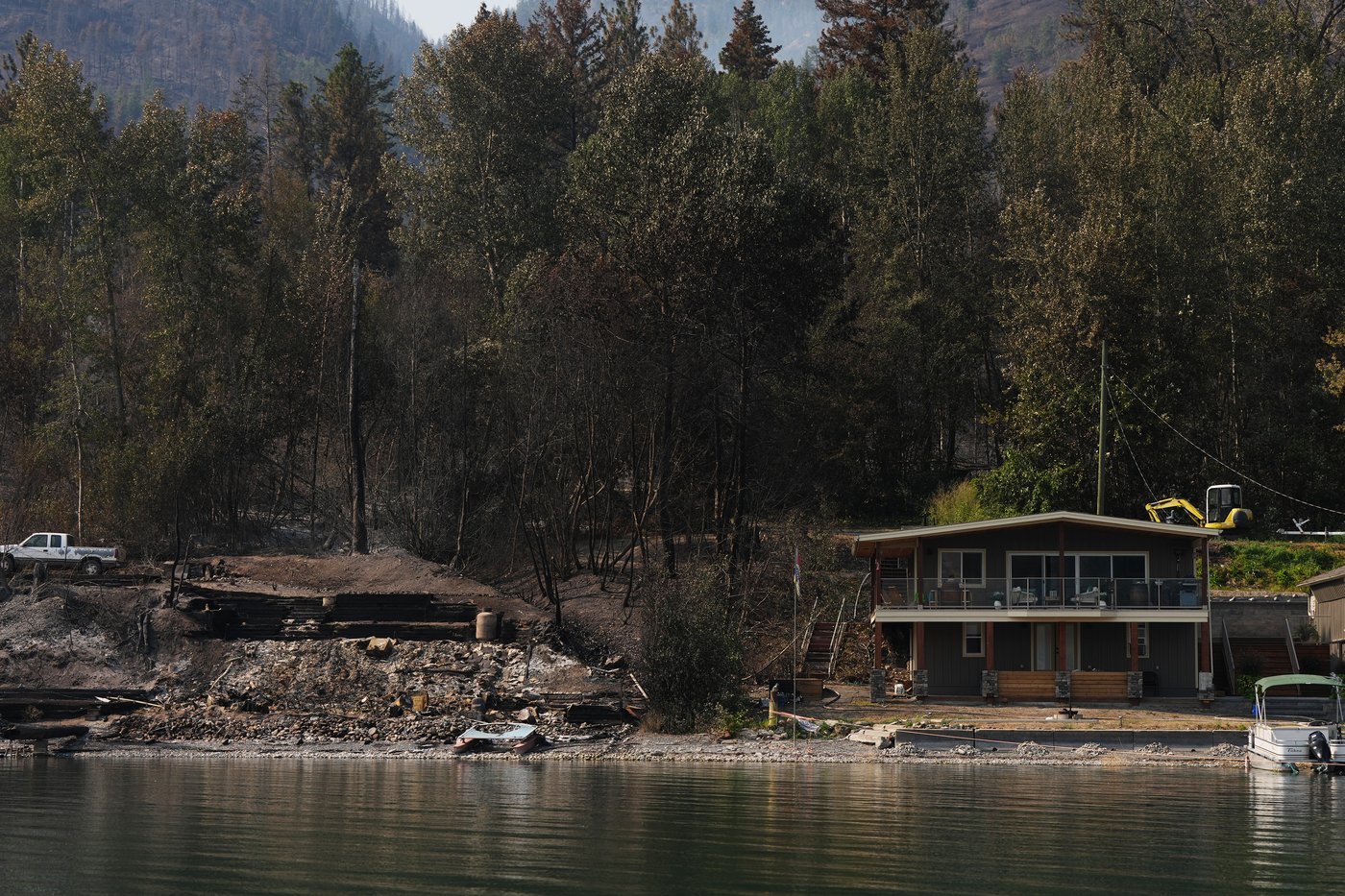
A separate wildfire burning south of the blaze on British Columbia’s Okanagan Lake that destroyed hundreds of homes last weekend has prompted an upgraded evacuation order.
An update from the Central Okanagan emergency management centre says the order applies to two dozen properties along Westside Road in the Shelter Cove, Secret Point and Cinnabar Creek areas.
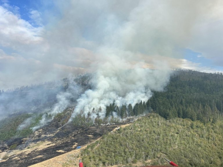
Residents had been told last night that they needed to get ready to leave on short notice in response to the out-of-control Quilpituk Creek fire.
Central Okanagan Search and Rescue says its members were helping with evacuations along West Side Road, along with RCMP and Penticton Search and Rescue.
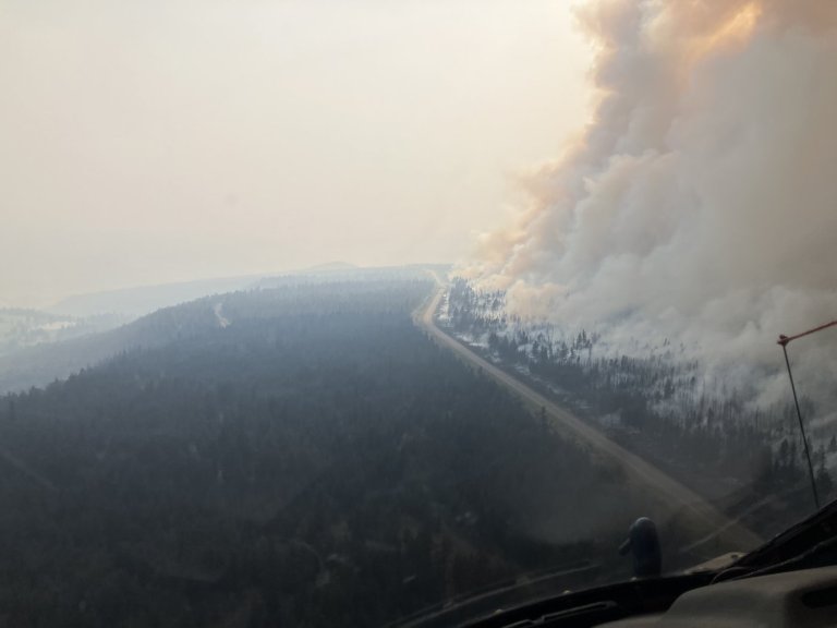
The emergency management centre says increased activity at the Quilpituk Creek blaze has also prompted an evacuation alert for properties south of Cinnabar Creek, including the Wilson’s Landing area, about 17 kilometres north of West Kelowna, B.C.
The blaze spans just over seven square kilometres, south of the Bradley Creek fire that scorched neighbourhoods west of Vernon last Saturday, fanned by winds reaching speeds between 80 and 115 kilometres an hour.
British Columbia’s wildfire fight has also reached into Metro Vancouver, where a few dozen properties in the community of Anmore, about 40 kilometres east of Vancouver, remain under evacuation alert due to a nearby blaze that was spotted Wednesday.
An update from the nearby Village of Belcarra says the 1.5-hectare fire burning in Belcarra Regional Park was “nearly contained” on Thursday, with fire crews focused on extinguishing remaining hot spots.
The fire, thought to be caused by human activity, is the first substantial blaze in Metro Vancouver this wildfire season.
Evacuees in the Fraser Canyon are meanwhile returning home, with the downgrading of evacuation orders in and around Boston Bar on Wednesday after several weeks of being out of their homes.
Still, the Fraser Valley Regional District says residents must stay ready to leave as the Brunswick Creek and Ainslie Creek wildfires, spanning more than 480 square kilometres, continue to burn out of control.
A large sign reading “Welcome Home!” in capital letters has been greeting residents returning to the area.
Photos posted to social media show a red fire truck parked beside the sign on the highway with smoky skies in the background.
A boil-water advisory remained in place, with the district saying people returning home should bring plenty of food and bottled water along with cleaning supplies, a first aid kit and a camera to document any damage at their properties.
Patricia Ross, board chair for the Fraser Valley Regional District, says there’s a lot of work ahead for returning residents, but “it’s a step in the right direction.”
Ross says district officials made the decision to downgrade the evacuation orders based on a recommendation by the BC Wildfire Service.
“They’ve done a good assessment of the area, they’re confident that it is safe enough for people … that they can go home, at least for now,” she says.
“We’re really crossing our fingers and hopeful that it stays that way, so that they can stay home, and the weather doesn’t give us some trouble.”
Residents may also face a circuitous route home, as Highway 1 is closed between Yale and Boston Bar, while the district says Highway 8 between Merritt and Spences Bridge should be avoided due to wildfire evacuations in the area.
To the north, officials revealed the scope of destruction outside Clinton, B.C., saying on Wednesday that about 120 properties suffered structural losses when the Pear Lake blaze surged on July 24. It has since grown to span more than 1,260 square kilometres.
In the East Kootenay region, all of the evacuation orders and alerts related to the Wait Creek fire burning east of Kimberley, B.C., have been rescinded.
This report by The Canadian Press was first published Aug. 6, 2026.
News from © The Canadian Press, . All rights reserved.
This material may not be published, broadcast, rewritten or redistributed.

Join the Conversation!
Want to share your thoughts, add context, or connect with others in your community?
You must be logged in to post a comment.