Elevate your local knowledge
Sign up for the iNFOnews newsletter today!
If you’ve been following wildfires in BC, you have probably seen NASA’s maps tracking their movement. Maybe you’ve used the map yourself.
It can be helpful to see the fires progress from space, especially when you’re evacuated from your home. Instead of a mapped perimeter, it highlights hotspots in an active wildfire, and experts warn against relying on satellite data too much.
“If you were to pull a map out of (NASA’s program) and look at your town that just got evacuated, it may look like half the town burned, even though it didn’t,” forest research scientist with Natural Resources Canada, Joshua Johnston told iNFOnews.ca.
But scientists are developing a system to both revolutionize how wildfires are monitored from space and liberate Canada from a reliance on American tools.
Canada has agreements to share wildfire data with the U.S. including National Aeronautics and Space Administration (NASA), which monitors them from space. Johnston is working on the federal government’s upcoming WildFireSat, which will see Canadian satellites launched in 2029.
“I’m not going to get into the stability of (those agreements) in the future, but when it comes down to it we are dependent on other countries for this. Once WildFireSat comes into play, certainly we still will be using international data… but we’ll still have our own thing,” he said.
NASA’s Fire Information for Resource Management System produces a worldwide hotspot map, but Johnston said it relies on satellites designed to track weather systems, not fires. It’s frequently used by locals in the Southern Interior, but Johnston said it has drawbacks.
“For our specific needs, you kind of do have to design the satellite for us and for nobody else,” Johnston said.
Once launched, the new system will reveal more precise geographic data and fire intensity on the ground with infrared sensors, but that doesn’t mean it will replace traditional methods of detecting new wildfires.
When fires are smaller, satellites detect wildfires best in the Southern Interior where the forests are thinner. But there are enough people in those areas that most are reported to BC Wildfire Service before the next satellite orbits the sky above. In denser forests, tree canopies can often block the fire from view until it’s much larger.
“It is not what I would ever recommend for early detection,” Johnston said.
Direct calls to the the wildfire service contribute to 40 per cent of newly discovered forest fires.
While NASA’s map can be helpful, he said, the hottest and most active parts of the wildfire are often blocked by smoke and satellites can’t pick up what’s happening.
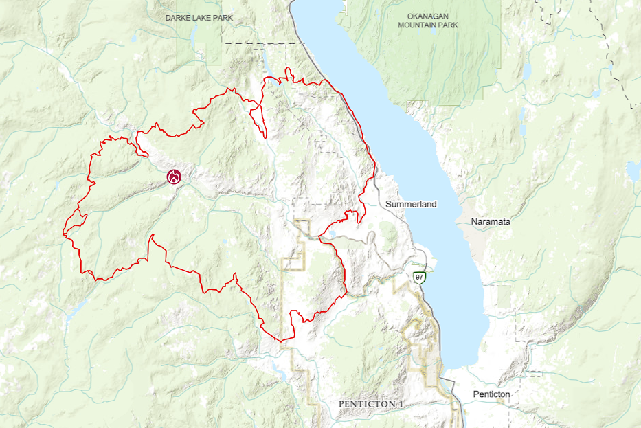
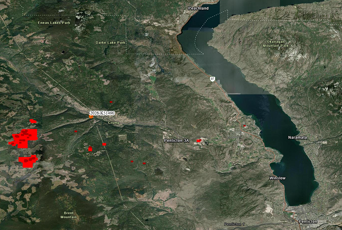
A BC Wildfire Service spokesperson said it does use satellite data, along with infrared readings from planes and drones, to map and monitor wildfires, but detecting new ones from the sky could become more common in the future.
“As technology progresses, detection based on remote sensing platforms such as (drones) and satellites will play a larger role in our processes,” a spokesperson said in an emailed response.
Johnston said Canada’s satellite mission likely won’t be helpful for individual firefighters on the ground, but BC Wildfire Service, for example, can compare results with its own predictions, and researchers can monitor the overall wildfire situation at a provincial and national level with ease.
After nearly two decades in the making, the satellites will be another tool for Canada’s wildfire experts once launched in 2029.
“I think one thing that’s a take-home from this is I think Canada should be pretty proud of this one,” he said. “We’ve really gotten ourselves to a point where not only are we capable of doing this, I think it’s a reasonable argument to say we’re probably leading the world.”
News from © iNFOnews.ca, . All rights reserved.
This material may not be published, broadcast, rewritten or redistributed.

This site is protected by reCAPTCHA and the Google Privacy Policy and Terms of Service apply.
Want to share your thoughts, add context, or connect with others in your community?
You must be logged in to post a comment.