Elevate your local knowledge
Sign up for the iNFOnews newsletter today!
Sign up for the iNFOnews newsletter today!
Selecting your primary region ensures you get the stories that matter to you first.

The launch of an updated B.C. Rail Trail website is just one more piece that’s helping to create a cycling network that will attract tourists from all over the world.
The Thompson Okanagan Tourism Association announced the upgrade earlier this week.
The website has an interactive map and descriptions of more than two dozen trail sections from the East Kootenays to Hope with the Kettle Valley Rail line from Midway to Penticton as one of the longest continuous stretches of actual rail tail.
It has been a long, slow process to develop the network of rail trails in B.C.'s Interior and many crucial links still need to be completed.
“You have to do lot of groundwork before you see the results so, for the last five years, we’ve been digging under the surface,” Mike Overend, director of sustainability with the tourist association, said. “Hopefully the flower starts to grow in the next couple of years.”
The association’s trail focus, right now, is on the Midway to Penticton section of the Kettle Valley Railway, which is in pretty good shape for cycling or hiking but does have sections that are shared with motorized traffic.
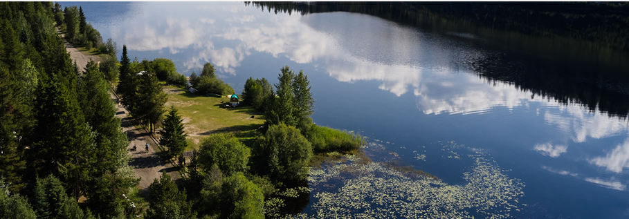
Government grants are helping with trail and signage work this year.
That rail line officially ends in Midway but there are connections along the former Columbia and Western rail line extending east to Castlegar, although there are rough sections between Greenwood and Grand Forks and much of the route from Christina Lake to Castlegar is now also a logging road.
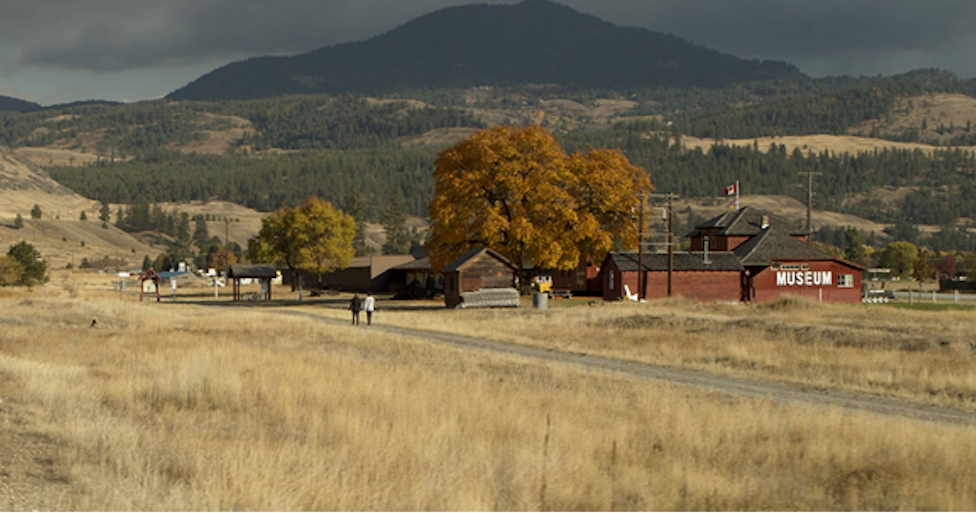
In order to get through the other way to Hope, there is some travel required along Highway 97 between Penticton and Summerland and along the Coquihalla Highway.
The B.C. Rail Trail map does not offer much direction on that part of the route.
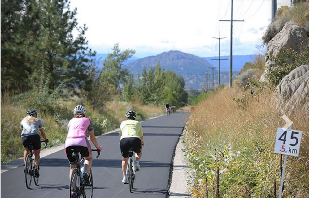
The other major corridor is north-south through the Okanagan Valley from Sicamous to Osoyoos. Again, many sections on that route are yet to be completed.
The Shuswap North Okanagan Rail Trail society is currently fundraising and hopes to get a couple of pilot sections built by the end of the year. That's hoped to serve as a catalyst to raise funds to complete the 50 km trail and connect it to the Okanagan Rail Trail from Coldstream to Kelowna.
READ MORE: Shuswap North Okanagan Rail Trail 'test section' in Enderby get $250K grant
That’s still missing a vital link between Lake Country and Kelowna International Airport while waiting for the federal government to turn over land to the Okanagan Indian Band along Duck Lake.
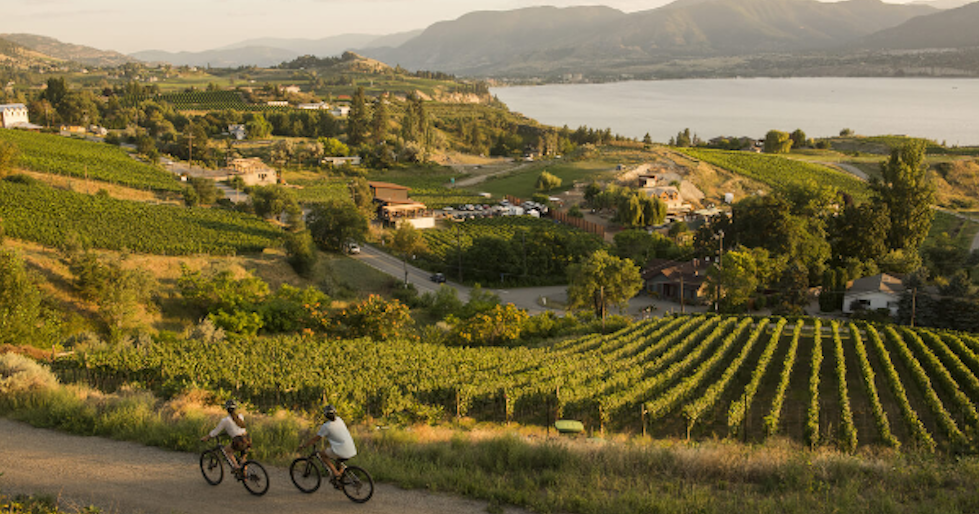
Trail of the Okanagans is working on numerous missing links between West Kelowna and Osoyoos. Major obstacles exist along Drought Hill from Peachland to West Kelowna and at Vaseux Lake where federal environment officials don't want people to travel along the old rail line.
READ MORE: A trail from Sicamous to Osoyoos depends on West Kelowna to Peachland problem
Right now, the various groups are working independently but communicate with each other in an effort to achieve a common goal of having rail trails that will attract cyclist from all over the world.
There have been discussions in the past about a joint effort but, Overend said, not everyone was ready to make that move at that time and some personnel have since left.
“I think that fundraising on an individual level, at this point, is a better strategy,” Overend said. “The North Okanagan needs to do their own fundraising. Once they get going, that will be a good point for us to come back together and maybe look at a bigger push.”
The problem with a region-wide fundraising approach is that the population is heaviest in the Central Okanagan and Vernon areas. Many of those people donated to the Okanagan Rail Trail and may be reluctant to contribute more to routes not in their own backyards, he said.
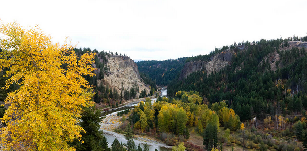
Overend expects it will take two to three years and federal funding to get the northern trail built but that will provide impetus to get the southern link completed.
Right now, there are about 650 km of identified trails but they are yet to all be connected.
There are no plans, at this time, to connect any of these rail trails to Kamloops as the rail line from Armstrong to Kamloops is still actively used.
The website includes details about each of the sections and provides difficulty ratings.
See the website at bcrailtrails.com here.
To contact a reporter for this story, email Rob Munro or call 250-808-0143 or email the editor. You can also submitphotos, videos or news tips to the newsroom and be entered to win a monthly prize draw.
We welcome your comments and opinions on our stories but play nice. We won't censor or delete comments unless they contain off-topic statements or links, unnecessary vulgarity, false facts, spam or obviously fake profiles. If you have any concerns about what you see in comments, email the editor in the link above.
News from © iNFOnews.ca, . All rights reserved.
This material may not be published, broadcast, rewritten or redistributed.

This site is protected by reCAPTCHA and the Google Privacy Policy and Terms of Service apply.
Want to share your thoughts, add context, or connect with others in your community?
You must be logged in to post a comment.