Elevate your local knowledge
Sign up for the iNFOnews newsletter today!
Sign up for the iNFOnews newsletter today!
Selecting your primary region ensures you get the stories that matter to you first.
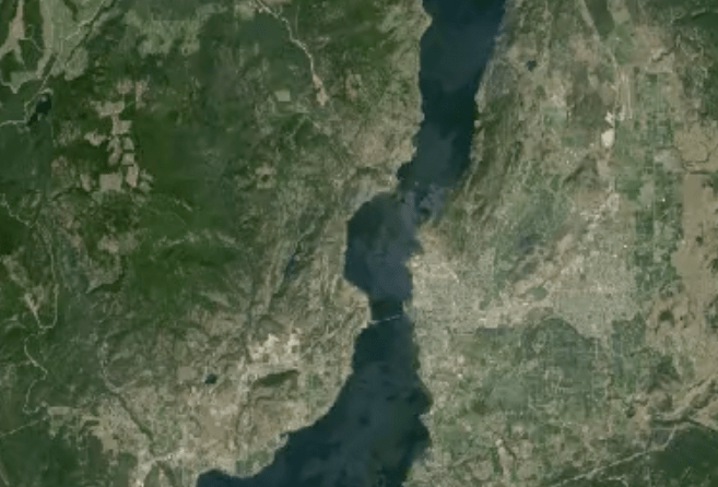
VERNON - It’s no surprise the Vernon area has grown over the last 30 years, but now you can see just what those changes look like from above. This incredible time lapse of satellite images from 1984 to 2012 on Google Earth Engine shows how different the city looks today. You will see new building...
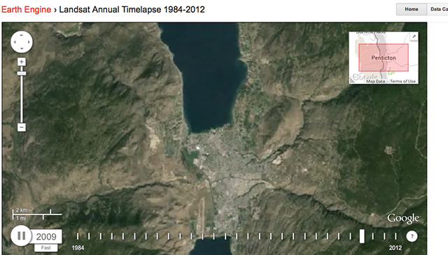
PENTICTON - If you've ever wondered what Penticton looked like from the sky 10, 20 or even 30 years ago you can take take a visual history tour of the area using Google Earth Engine. You will see development spread into the surrounding hills as the population increased to about 33,000 from 23,000 and in...

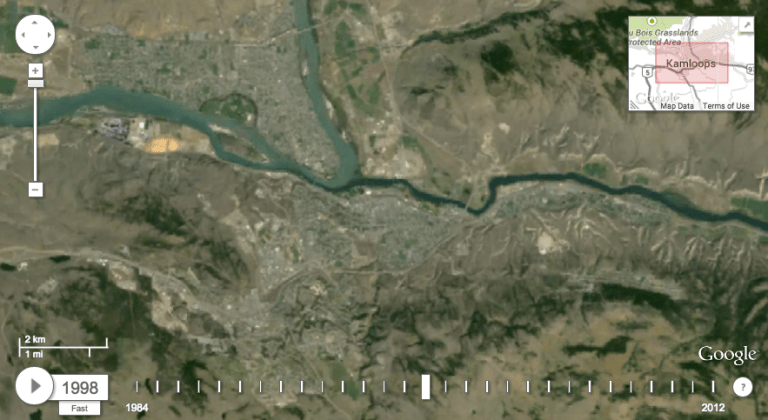
KAMLOOPS - If you’ve ever wondered how our city has changed in the last 30 years there’s a Google map for that. You can now see annual satellite images from 1984 to 2012 in a time lapse on Google Earth Engine. While it doesn’t show the latest growth in areas where a lot of construction...
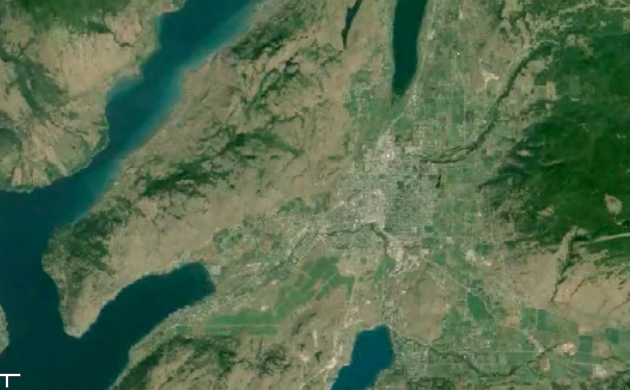
KELOWNA - We all know Kelowna and the Central Okanagan have grown over the last 30 years but Google Earth shows us just how much. This time lapse of satellite pictures from Google Earth shows the amazing changes in this area of the world from 1984 to 2012. According to Wikipedia and other sources, in 1984,...