Elevate your local knowledge
Sign up for the iNFOnews newsletter today!
Sign up for the iNFOnews newsletter today!
Selecting your primary region ensures you get the stories that matter to you first.
Dry March weather has resulted in some modest growth of the region’s snowpacks and it's…
It’s been a snowy start to the year in British Columbia and that is reflected…


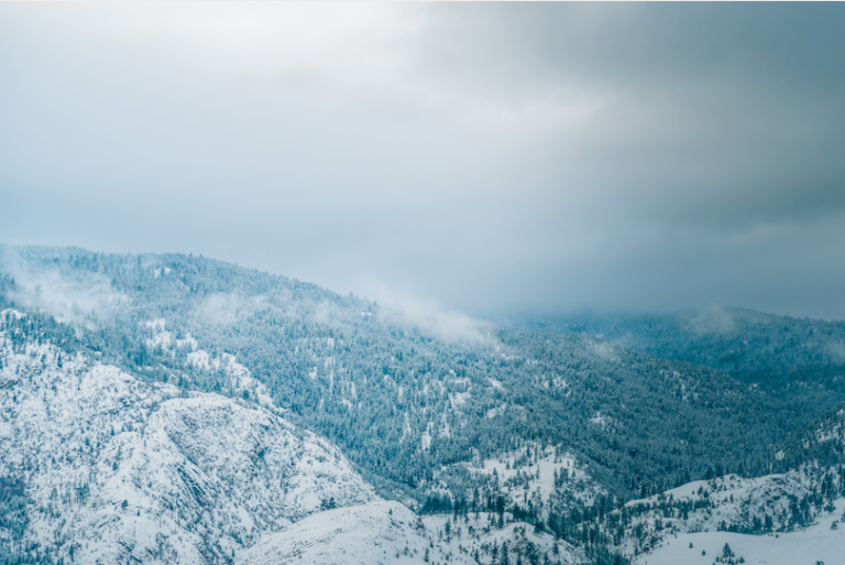
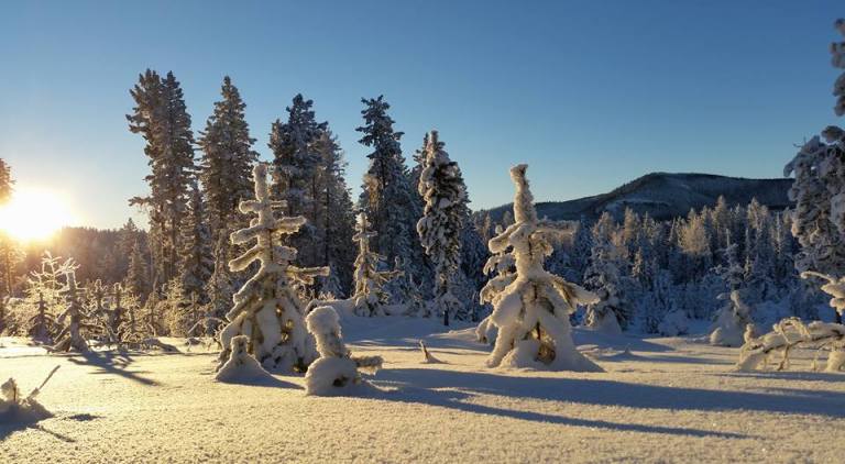
February’s cold weather kept the Southern Interior’s snowpack levels in check last month. The latest…
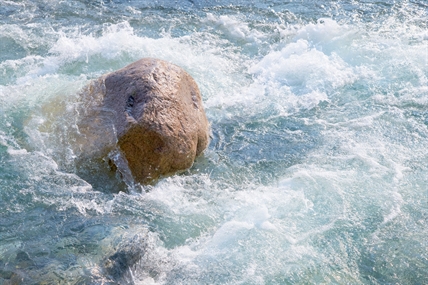
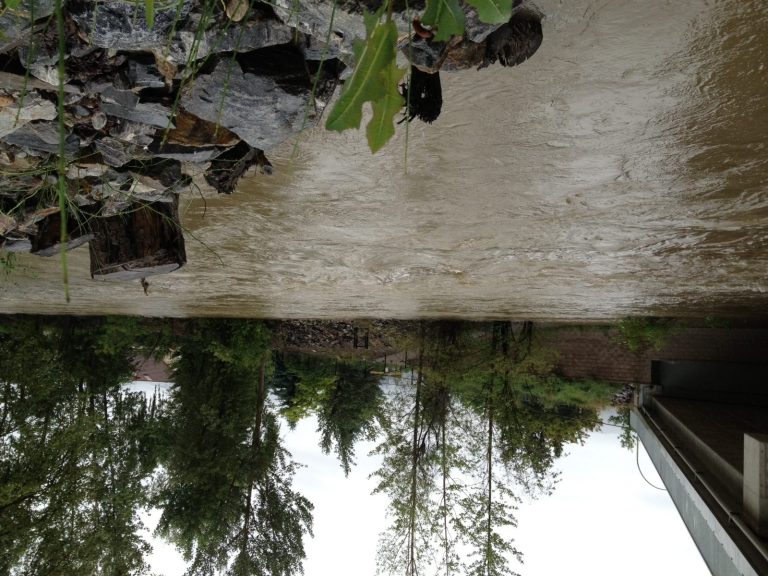
With the high elevation freshet now underway, the B.C. River Forecast Centre is upgrading some…
While most of us will bask in the sunny, warm weather forecast this week in…
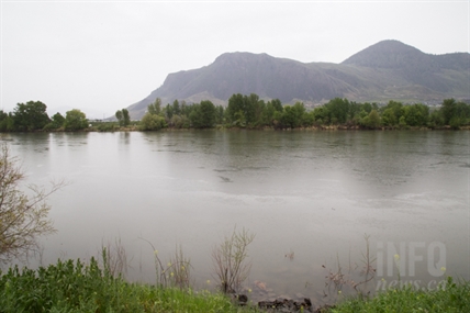
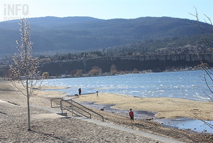
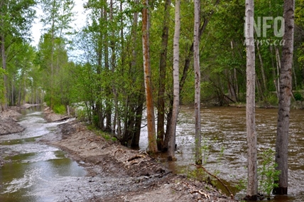
Rivers continue to flow higher than normal with extreme flows and flood conditions persisting in…
OKANAGAN – Officials monitoring the flood threat aren’t feeling any more relaxed today, May 12,…
THOMPSON-OKANAGAN – Thanks to the cooler weather, river levels are dropping and the high streamflow…
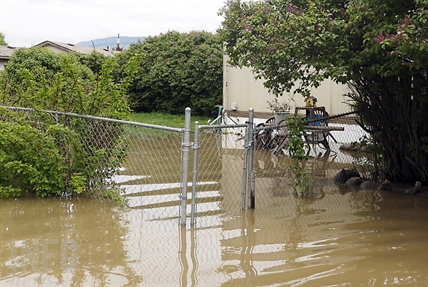
EMPTY SANDBAGS AVAILABLE AT MOST LOCAL FIRE HALLS CENTRAL OKANAGAN – Creeks and streams swollen…
THOMPSON-OKANAGAN – Snowpacks in the region have increased slightly over the past several weeks, leaving…
THOMPSON-OKANAGAN - Several snow systems pommelled the region at the end of 2015, leaving the snowpack levels at a good level to start 2016. At 143 per cent, Similkameen is most above normal for this time of year, but with the lowest in the region sitting at 92 per cent of normal snowpack levels, low...
THOMPSON-OKANAGAN - An early melt and a warm, dry May mean there is little to no snow left in many basins around the region, and that means a low flood risk. The River Forecast Centre says the warm month led to a rapid melt of the snow pack and about half of the province’s snow...
THOMPSON-OKANAGAN - Current snowpack levels suggest the Okanagan could be in for a dry year, while the South Thompson should fair better. According to Tobi Gardner with the River Forecast Centre, snowpack is at 76 per cent of normal in the Okanagan — the lowest in five years. “What that translates to is a lower...