Elevate your local knowledge
Sign up for the iNFOnews newsletter today!
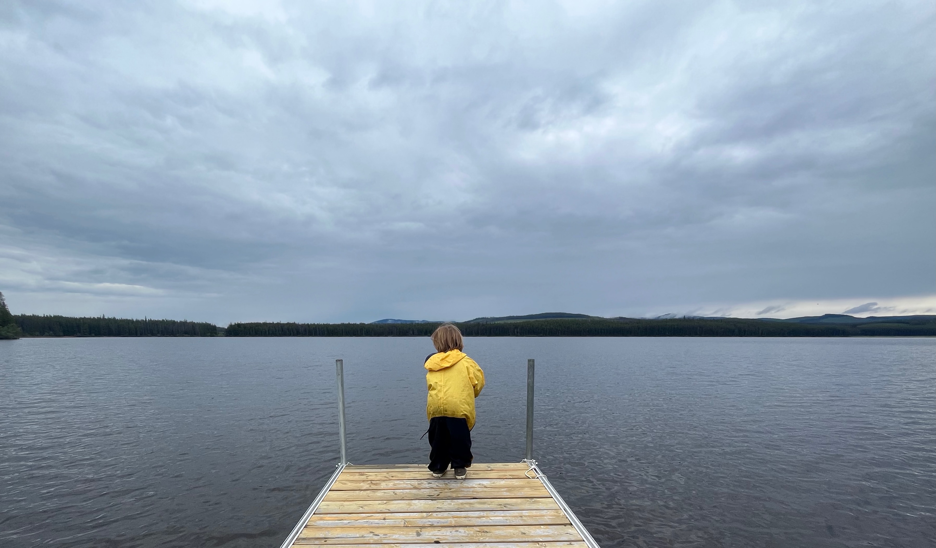
There are waves of atmospheric rivers pummeling most of B.C. over the weekend, but once again it won’t make it to the Okanagan, where we could use some of it.
Forecasters are expecting 120 millimetres of rain to hit areas along the coast and strong winds in the Kamloops area, but the Okanagan isn’t anticipating more than a bit of a drizzle. Understanding why is key to understanding the Okanagan’s unique climate.
The Okanagan Basin is in the rain shadow of the coastal mountains which strip moisture from the kinds of storms currently affecting the rest of the province. It seems like a boon at times like these, but it’s also part of why the region is susceptible to drought.
“When the air comes from the Pacific, a lot of moisture will rise along with the landscape across the coastal mountains. But once (weather systems) cross that mountain, (the air) starts to descend, then all the moisture will mostly rain down near the coast. The air will start to get drier as they go to the other side, and the precipitation will start lightening,” Environment Canada meteorologist Gary Lee told iNFOnews.ca.
Lightening is one word. Blocking all that rain eventually leads to desert or near-desert conditions in Osoyoos to the south and Ashcroft further north and dry valleys in between. Mountain passes, however, is an entirely different story as today’s weather system exposes.
“Most concerning will be higher elevations getting some strong winds, especially highways and stuff, but rainfall wise, not a lot,” Lee said. “These storms are coming from the southwest, so the majority of Thompson into the Okanagan. Even the Nicola Valley, they’re in the rain shadow.”

There’s only a 40 per cent chance of rain in most of the Okanagan with wind speeds peaking around 60 km/h. Up in Kamloops wind speeds are expected to reach 80 km/h.
The 40 per cent chance of rain doesn’t mean there’s a certain chance of rain in the entire city, it’s the probability that there’s going to be rain somewhere within the area.
The coast and the Lower Mainland are expecting serious rainfall and extreme winds throughout the weekend. Drivers heading through the Okanagan Connector and Coquihalla Highway should watch out for high winds and some rain.
Lee said the snow level is up around 2,000 metres, so there shouldn’t be much snow on the highways and most of the ski areas won’t be getting much either.
Environment Canada is updating warnings and alerts as the weather systems progress and people have been advised to keep an eye out throughout the weekend.
“Just stay safe,” Lee said.
News from © iNFOnews.ca, . All rights reserved.
This material may not be published, broadcast, rewritten or redistributed.

This site is protected by reCAPTCHA and the Google Privacy Policy and Terms of Service apply.
Want to share your thoughts, add context, or connect with others in your community?
You must be logged in to post a comment.