Elevate your local knowledge
Sign up for the iNFOnews newsletter today!
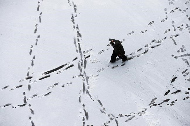
CHICAGO – A blanket of snow will cover the Great Lakes and the Northeast ahead of an expected dip into Arctic-cold temperatures.
The wintry weather mostly moved out of the Plains overnight, leaving parts of Minnesota with up to a foot of snow as it pushed into Wisconsin, Illinois and Indiana.
It’s a “slap of reality” after a mild November, National Weather Service meteorologist Dave Schmidt in La Crosse, Wisconsin, said.
The Chicago area received 3 to 4 inches of snow as of Sunday morning, and could see another 3 to 5 inches Sunday. The city’s aviation website said more than 1,200 flights had been cancelled at O’Hare and 175 at Midway as of late Sunday morning.
Michigan could see the heaviest snowfall, up to 10 inches. It caused problems Sunday when a Delta plane with 70 passengers and crew landed at Detroit Metropolitan Airport but then ended up in snowy grass while it was turning from the runway to a taxiway. No injuries were reported.
To the east, Cleveland could see up to 6 inches, while parts of Vermont could see up to a foot.
The Ohio River valley and Mid-Atlantic will see a mix of snow, freezing rain and rain.
“For the rest of the day the best advice is just to stay off the road if you can, and otherwise go slow and give yourself more time to reach your destination,” National Weather Service meteorologist Mark Steinwedel said. “If you don’t have to drive or go somewhere, stay home.”
Temperatures 15 to 30 degrees below average will follow the cold rain and snow in the coming days through much of the Midwest and East.
___
Associated Press writers Jeff Baenen in Minneapolis and Rick Callahan in Indianapolis contributed to this report.
News from © The Associated Press, . All rights reserved.
This material may not be published, broadcast, rewritten or redistributed.

This site is protected by reCAPTCHA and the Google Privacy Policy and Terms of Service apply.
Want to share your thoughts, add context, or connect with others in your community?
You must be logged in to post a comment.