Elevate your local knowledge
Sign up for the iNFOnews newsletter today!
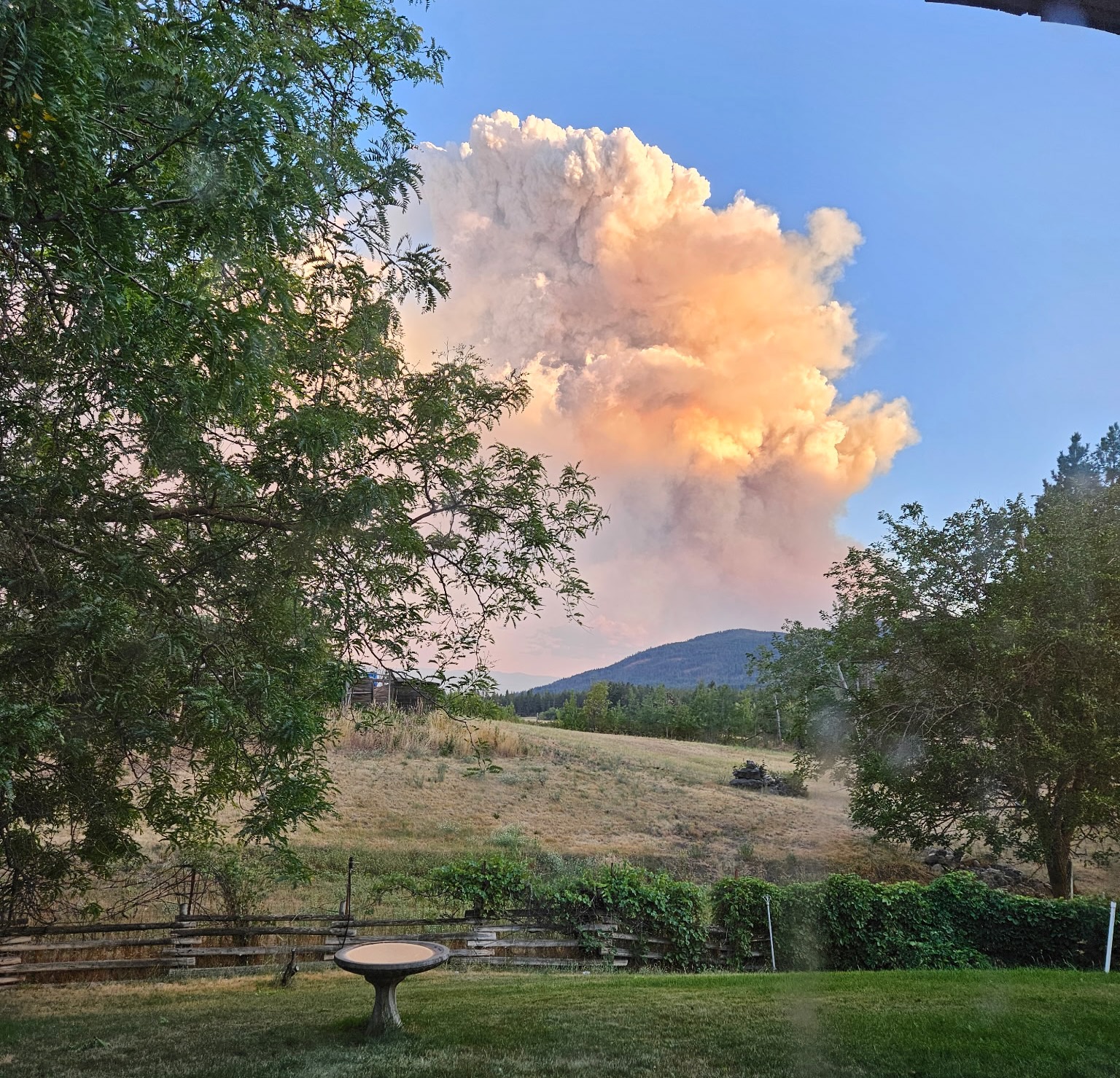
It’s summer in the Thompson-Okanagan region; you can see smoke on the horizon, and social media is a buzz with (contradictory) reports about nearby wildfires. Fires don’t care about misinformation or municipal boundaries, and getting precise information for your exact location is key in knowing what to do.
So where should a person go to get up-to-date information about what’s ablaze?
EmergencyMapsBC is the best place to find out where a fire is burning. Type in an address or town in the search box, and the map will show you the location of nearby fires. The map shows which areas are on evacuation order and alert, but doesn’t have precise street addresses.
But I need to know whether I’m on evacuation alert or not?
EmergencyInfoBC has information about all the wildfires across the province. Selecting the fire you’re concerned about should lead to more links to local government sites with exact information about which properties are on evacuation alert or order.
I just want to see where the fires are
FireMap.live uses satellite data from NASA and other agencies around the world and has an easily navigable map showing wildfires planet-wide. It’s for information purposes only though and states it shouldn’t be used for critical safety decisions.
I need to go somewhere, how do I know which roads are open?
Just because an evacuation order exists on both sides of a highway, it doesn’t necessarily mean the road will be closed. DriveBC is the best place to find up-to-date information about road closures.
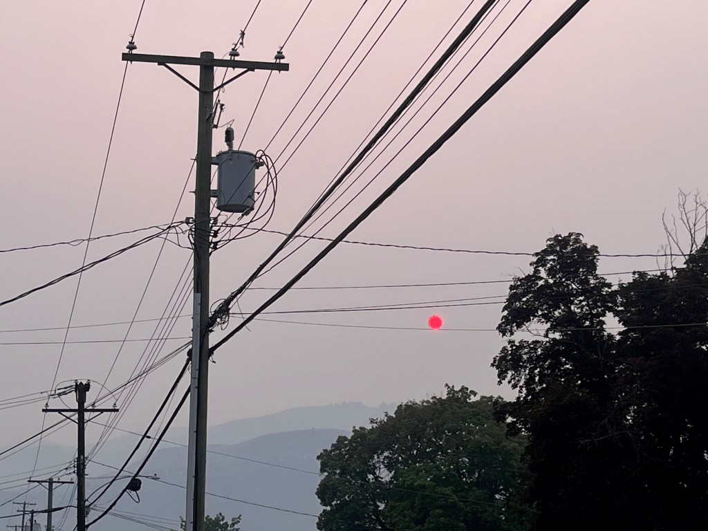
It’s awfully smoky outside, how do I find out about the air quality?
BC Air Quality gives easy-to-understand information about the Air Quality Health Index rating it on a scale from 1 to 10. For more detailed information, IQAir gives hourly and daily air quality forecasts. For help understanding and reading air quality measurements, go here.
They measure wildfires in hectares, but how big is a hectare?
It’s 100 metres on every side, so 10,000 square meters – roughly the size of the grassy area inside a 400-metre running track. There are lots of better examples here.
News from © iNFOnews.ca, . All rights reserved.
This material may not be published, broadcast, rewritten or redistributed.

This site is protected by reCAPTCHA and the Google Privacy Policy and Terms of Service apply.
Want to share your thoughts, add context, or connect with others in your community?
You must be logged in to post a comment.