Elevate your local knowledge
Sign up for the iNFOnews newsletter today!
When Tom Bennie sees a problem, he can’t help but look for a way to fix it.
When he was evacuated from Summerland with the rest of the town, he was among many others anxiously waiting in the dark, unaware of whether his home was still standing. He took his decades of coding experience and got to work.
“It’s like the whole mentality from that goofy Pixar movie, Robots: see a need, fill a need. So I just did… then I was worried it might only help five or six people, but that’d be enough,” he said.
Bennie launched Summerland Fire Map in an effort to identify whose homes are still there. He put BC Wildfire Service data and property maps into his own website, then started collecting reports on whether homes were still standing or not as the Bald Range wildfire continued to keep evacuees out.
Through tears, he reflected on his son nearly forgetting a treasured toy as they packed to flee the town.
“The thought hit me of all these little kids and parents that are stuck just not knowing, and it made me angry,” he said. “So, I just started coding.”
Bennie said there was a vacuum of information, but he heard from others who were all looking for details on whether their homes were still standing or consumed by the blaze.
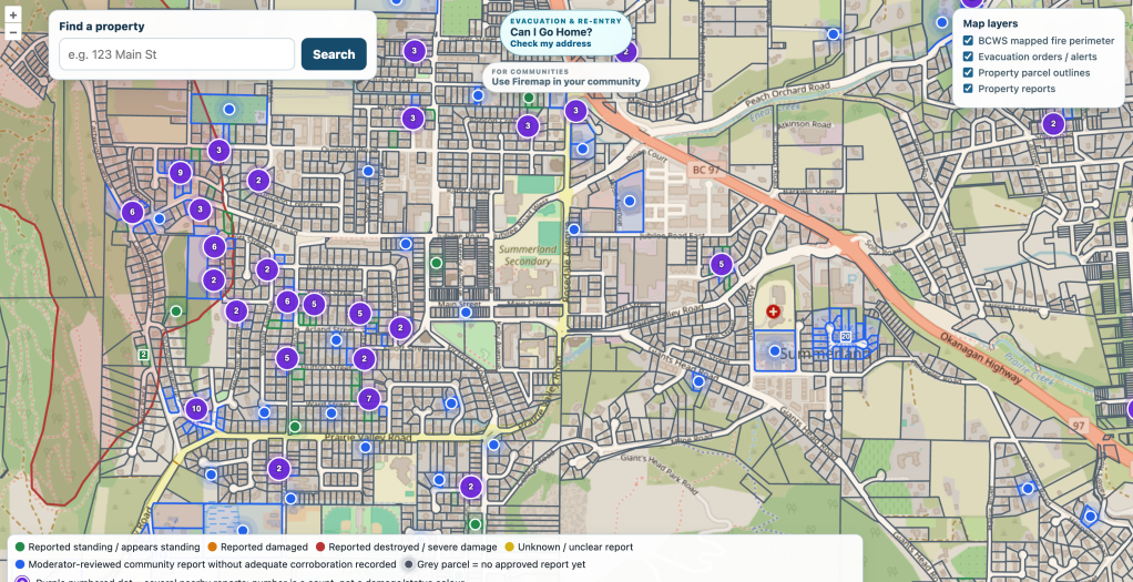
Since launching the website last week, it has received almost 300 reports and dozens of homes have been listed as still standing, some within the fire perimeter. Eleven have been reported as destroyed or severely damaged, but the list is far from complete.
He added that he has heard from numerous people who were thankful for the information, including some whose homes were severely damaged or destroyed.
The idea came to him on the night of the evacuation, Aug. 8, when the blaze spread quickly toward the town of 12,000 and the surrounding area like Faulder. He launched the website after working on it the next day.
Now with multiple other moderators to help, they take reports from witnesses and neighbours who have been through the area, then attempt to verify the report. Once the report has been vetted, which sometimes include photos or videos, the website will be updated to say whether it has been damaged or is still standing.
Bennie said the photo evidence was briefly included on the website, but they later decided to keep away from public view. He and the moderators settled on a “no more tears” mission, deciding the pictures were more hurtful than necessary.
“It’s a double-edged sword, but then also the Summerland community knows who lost everything. They don’t have to sit there not knowing anymore,” he said. “They can start the insurance paperwork, they can start moving their life forward again, instead of coming back to chaos with nowhere to go.”
That sensitivity is often cited by local governments and the province as reason not to disclose much information about the scale of damage until after assessments are completed. Bennie hopes his website can help prepare residents before returning to discover what’s left on their property.
Some of Summerland has seen evacuation orders lifted, but it largely applies to homes east of Highway 97. Bennie, who remains evacuated, added a tool to his website to search whether a home is still in the evacuation zone or not.
He expected government officials to take issue with the website, but the only feedback he has heard is from residents who appreciate the information. Bennie is hoping local governments will find use in the tool and use it in future evacuations.
Nearly a quarter of Summerland properties are no longer on evacuation order, and the community damaged has been assessed. However, the official damage information has not been made public and is not included on Bennie’s website.
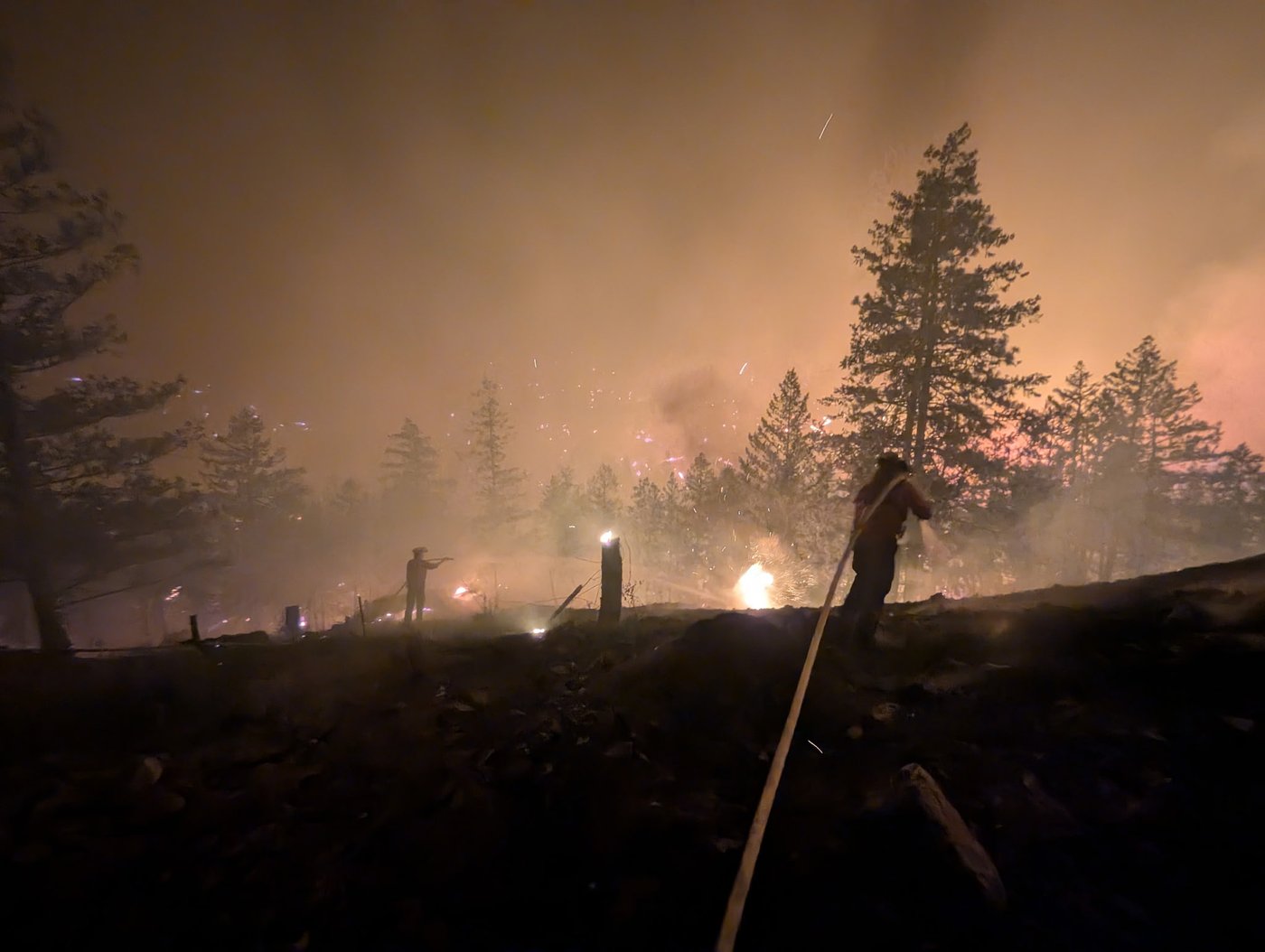
At more than 21,000 hectares, the Bald Range wildfire is still burning after it has largely moved on from Summerland. Wildfire crews have lately seen the most aggressive fire behaviour on its western flanks, near Princeton-Summerland Road.
News from © iNFOnews.ca, . All rights reserved.
This material may not be published, broadcast, rewritten or redistributed.

This site is protected by reCAPTCHA and the Google Privacy Policy and Terms of Service apply.
Want to share your thoughts, add context, or connect with others in your community?
You must be logged in to post a comment.