Elevate your local knowledge
Sign up for the iNFOnews newsletter today!
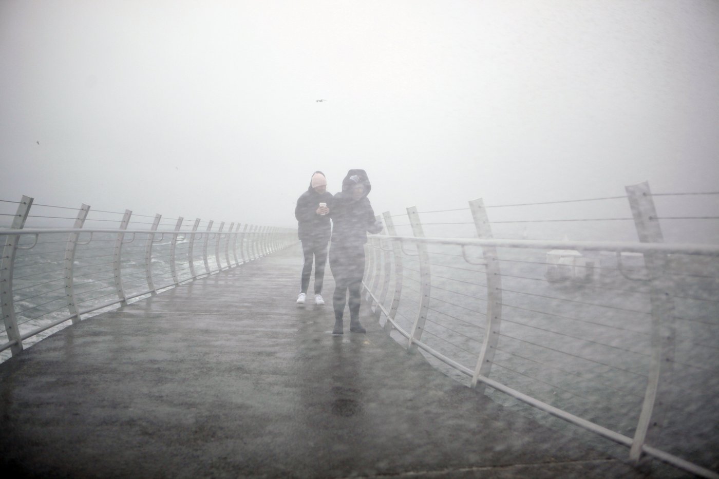
Parts of Vancouver Island have seen up to 210 millimetres of rain since Thursday in the first major weather system of British Columbia’s storm season, which could combine with high tides to soak some low-lying coastal areas.
B.C.’s River Forecast Centre says the rainfall is part of a series of atmospheric river systems expected to drench coastal areas in the coming days.
It says waterways are rising rapidly, with flows in parts of northern and western Vancouver Island reaching two- to five-year return levels on Friday.
High streamflow advisories cover most of the island as well as the south and central coasts, including the Sea to Sky region, and the lower Fraser River basin.
Environment Canada has meanwhile issued a coastal flooding statement for much of Vancouver Island’s west coast, saying elevated ocean levels combined with strong winds and waves could push waters above the highest astronomical tides.

It says minor flooding along low-lying shorelines is likely this weekend.
The river forecast centre says a second bout of rain will arrive later today, stretching into Sunday, with the heaviest downpours expected on Vancouver Island and in the Sea to Sky and Howe Sound areas, along with the North Shore mountains.
A third storm that’s expected to hit Monday may bring a more prolonged period of rainfall across B.C.’s coast through next week, the forecaster says.
This report by The Canadian Press was first published Nov. 7, 2026.
News from © The Canadian Press, . All rights reserved.
This material may not be published, broadcast, rewritten or redistributed.

This site is protected by reCAPTCHA and the Google Privacy Policy and Terms of Service apply.
Want to share your thoughts, add context, or connect with others in your community?
You must be logged in to post a comment.